Remote sensing data:
Earth observation data from multiple platforms for visualization and analysis


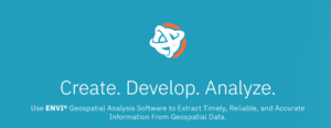
Our advanced solutions provide unparalleled clarity and precision, empowering industries from agriculture to urban planning with critical insights and data. Experience seamless integration, user-friendly interfaces, and cutting-edge technology designed to help you make informed decisions and achieve your goals. Explore our software line and elevate your perspective today.
We are levereging global providers to create local intelligence.
For over two decades we have been offering training in the software solutions we support and resell. Also through our training programs you can gain in-depth knowledge and practical experience with the latest developments in geoinformatics and geoanalysis. Training in the Greek language unless otherwise required.
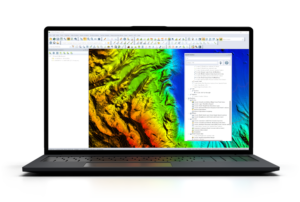
We work with the world’s leading satellite imagery providers to bring you the most accurate and highest quality data. Explore and utilize earth observation data from a wide range of sensors and recorders to meet your needs.
Interantional visitors follow the link below.
Stay updated with the latest news and insights delivered straight to your inbox.
© 1998, 2003, 2025 All rights reserved